


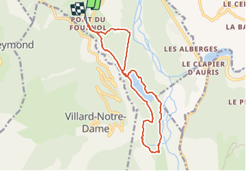


9.7 km | 18.1 km-effort

User


FREE GPS app for hiking
 SityTrail
IGN / Geographical institutes
SityTrail World
The world is yours!
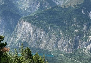
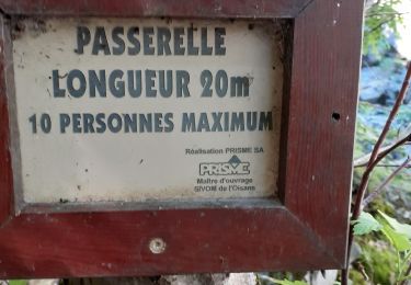
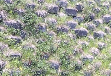
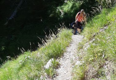
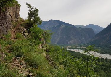
Trail Walking of 8.4 km to be discovered at Auvergne-Rhône-Alpes, Isère, Le Bourg-d'Oisans. This trail is proposed by crocau.
baladounette en Oisans qui reste savoureuse


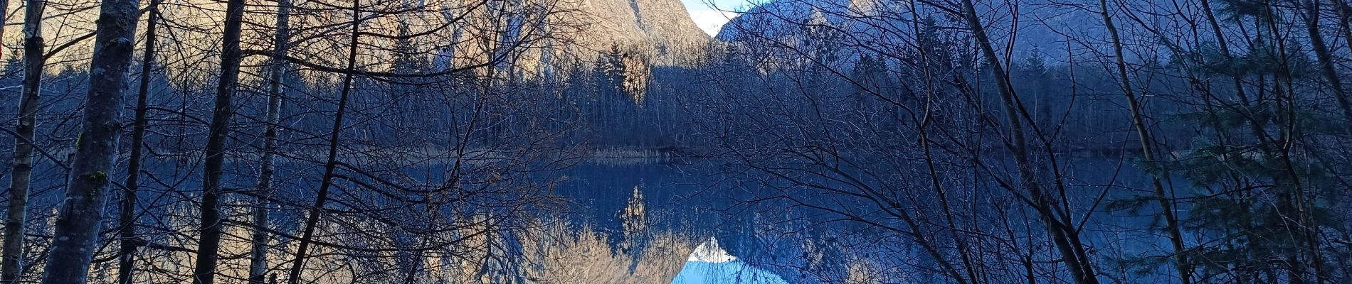
26 photos in total. Please click on a photo to see them all in the gallery.
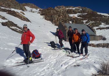
Touring skiing
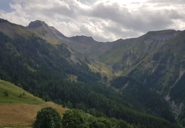
Walking
Walking
Walking
Walking
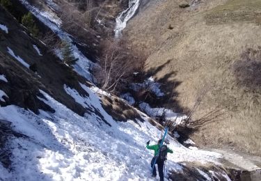
Touring skiing
Walking
Walking
Snowshoes